
Tiroa Station and its sister lands, Te Hape and Waipa, form the largest continuous area of farm land in the Waitomo district.
About Us
History
Tiroa, Wharekiri and Te Hape make up the largest continuous area farmed by one entity in the Waitomo district. Located 500m above sea level, it contains the head waters of three major awa: Waipa, Waimiha and the Mōkau River, native bush under Ngā Whenua Rāhui covenant, as well as maturing stands of Radiata pine.
There are a significant number of sacred sites within the boundaries, including Te Hape and Miringa Te Karaka Marae.
The land was originally surveyed in the late 1890s, with cutting rights to mill Rimu, Tōtara and Mataī until the mid-1960s. By the late 1950s Te Hape was developed by the Department of Māori Affairs and then handed back to the owners in 1974.
The day-to-day management of the farms has always been carried out by experienced and skilled farm managers, some of whom have been in position for a number of years.
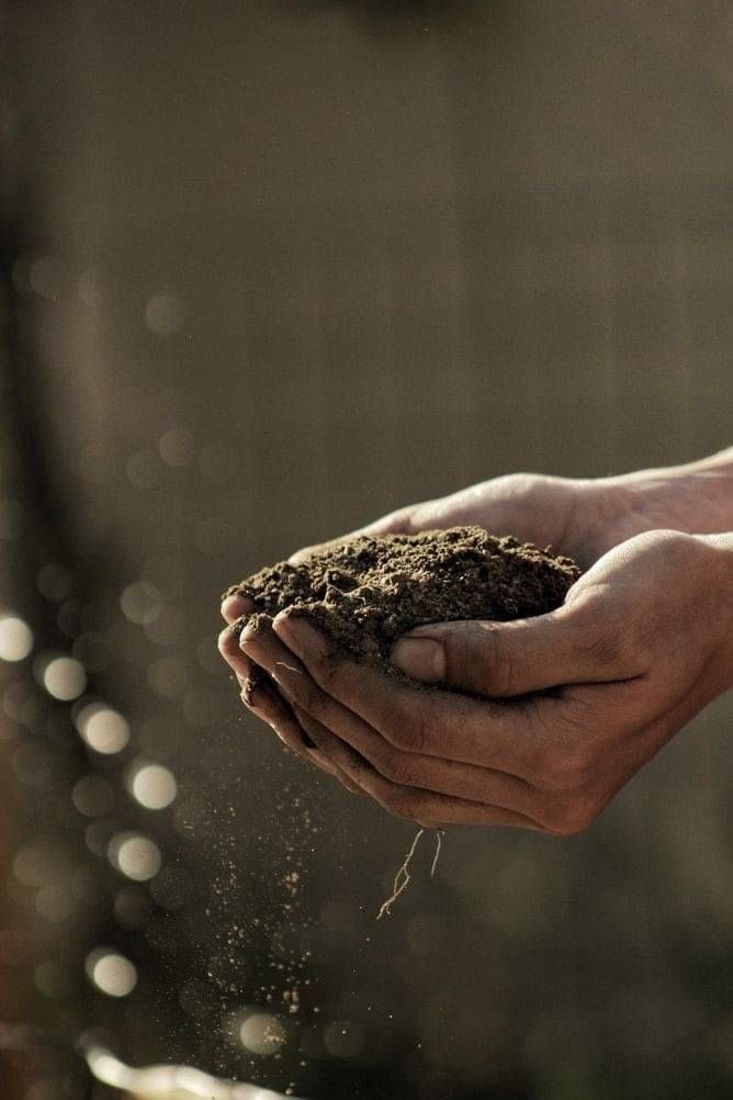
“Mā te whenua hei oranga te iwi mō ake, ake, ake. The land, our heritage and our values will nurture our people now and forever”.
Tiroa House
37-39 Taupiri St PO
Box 51
Te Kūiti, New Zealand
+64-7-878-8640